FISHING ● PADDLING ● HIKING ● BIRDING
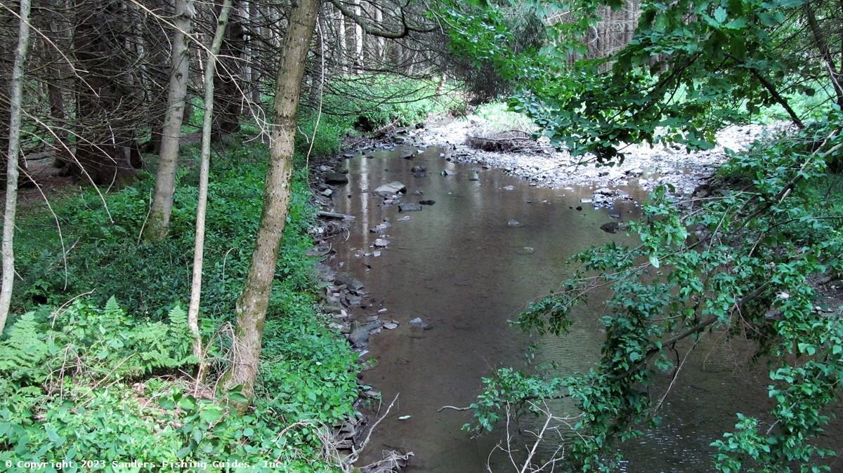
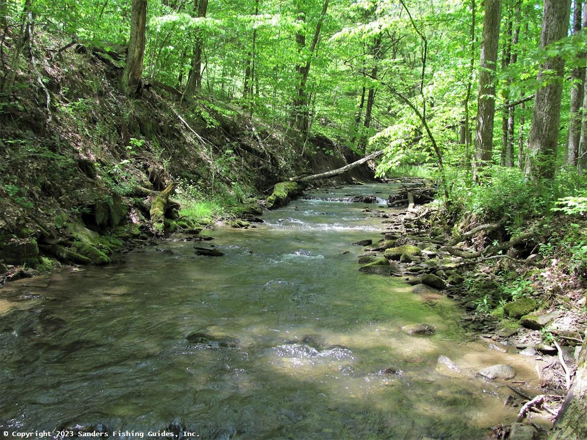
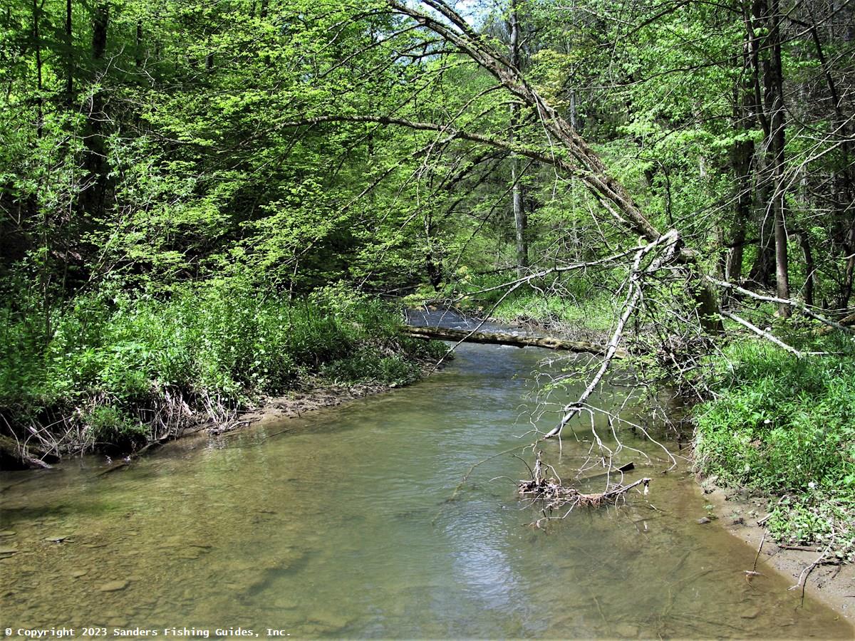
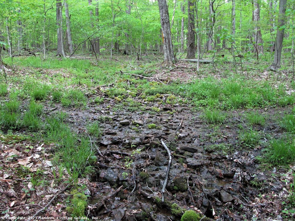
The West Branch of Bucktooth Run averages about 10 feet in width and has a rock and gravel bottom. Much of this small trout stream flows through a heavily wooded area, the canopy of which provides substantial shading of the water. Although this stream has suffered some impacts from beaver activity, DEC surveys of the West Branch and its tributaries performed in 2012 found brown trout and brook trout at most of the survey sites. Because it supports a viable wild trout population, this stream is not stocked. Most of the upper half of this stream flows through Bucktooth State Forest, providing public access to the stream. (The map pin is located where the Finger Lakes/Conservation Trail crosses West Branch Bucktooth Run Road and leads down to the stream within the state forest. See DEC map under Links.)
The West Branch is, at best, a marginal fishery, but it offers the opportunity to seek out wild trout in a beautiful and rustic setting. Even if you're not fishing, a hike along the West Branch on the first warm days of spring is invigorating and a great way to shake off the cold and grey of winter. I especially enjoy the state forest section, as I rarely see anyone on that part of the West Branch. The sound of the stream, swollen by recharged springs and surface runoff, the earthy smells of the woods, and the first wildflowers pushing up through the leaves of the previous summer or the remnant snow can be intoxicating.
Appreciate this stream for what it is—a refugium for wild brook trout, a species that is increasingly rare in this part of New York. If you decide to fish this stream, I strongly recommend using barbless hooks and practicing catch and release. Any level of harvesting by anglers, whether intentional or unintentional, can have a serious detrimental impact on the population of these fish.
The West Branch of Bucktooth Run is a secondary tributary of the Allegheny River. This stream joins with the East Branch of Bucktooth Run to form the main stem of Bucktooth Run, which flows into the river just west of Salamanca. The East Branch and main stem are as large as or larger than the West Branch, and low numbers wild brown trout have been documented in both streams, but unless you are already in the area, a trip to these streams isn't warranted due to access issues and the low quality of the fishery.
__________________֍__________________
Links to associated resources (Allegheny River and Bucktooth State Forest) will be added soon.
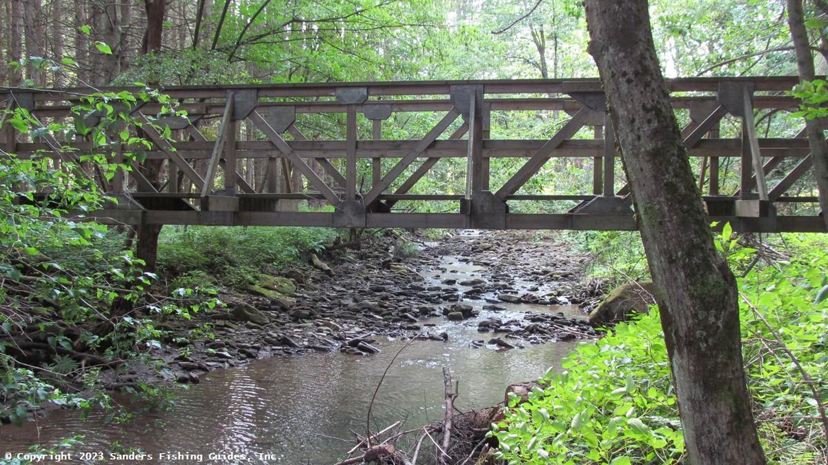
See Location Map (above) and DEC map of Bucktooth State Forest under Links.
Road Access:
Boat Launch Site(s):
None.Management Category: Wild (within the state forest); the remainder of the stream is uncategorized.
Fish Species:
Stocking Information: Not stocked.
Special Fishing Regulations: None. Statewide fishing regulations apply.