Oatka Creek (Middle Section)
The middle section of Oatka creek extends from the low dam in the village of Warsaw down to Circular Hill Road in Le Roy, a distance of about 35 stream miles. In the spring, a few brown trout can be found in and just downstream of Warsaw, but their numbers are low. And unlike the upper section of Oatka Creek, most of this section tends to get overly warm and weedy during the summer, providing only fair-quality fishing for northern pike, smallmouth bass, largemouth bass, and rough fish. In terms of fishing, this section of the stream is of local interest only and not worth a special trip. I know of no fishable tributaries along this section of Oatka Creek.
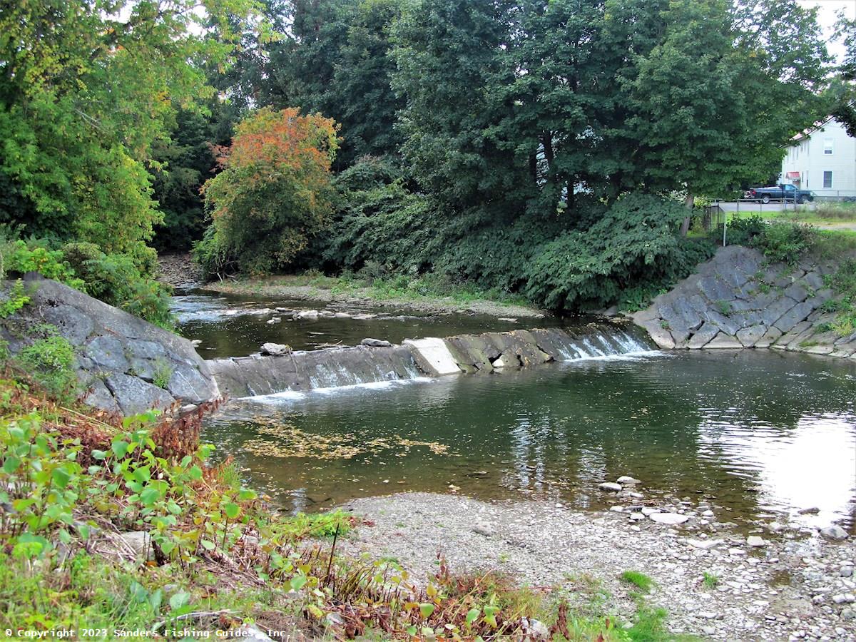
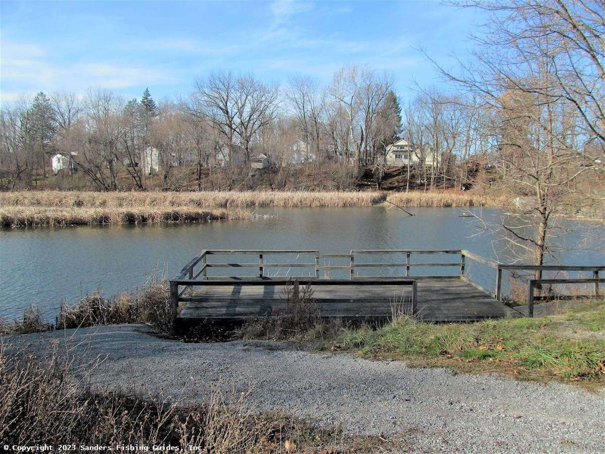
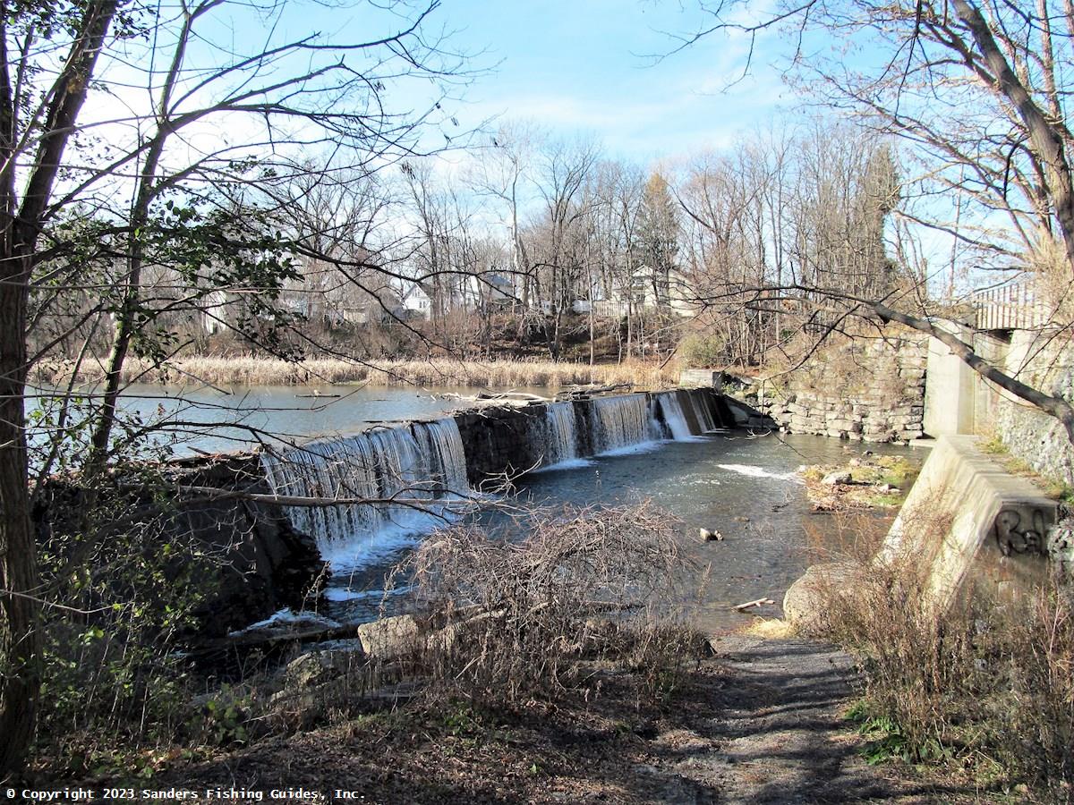
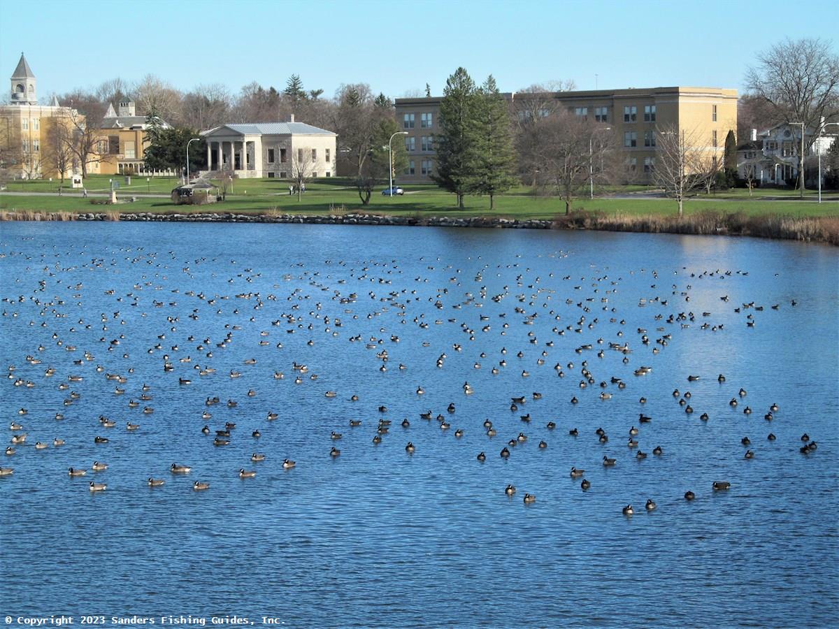
In addition to fishing, the section of Oatka Creek in Leroy also offers two opportunities for paddling and birding. A municipal launch site for canoes and kayaks is located off Munson Street, immediately upstream of a dam. (The map pin is located in the parking area for the launch site.) From here, it's usually possible to paddle as far upstream as an old railroad bridge; upstream of the bridge, the water quickly becomes too fast and shallow to paddle much further. While there is some development along this section of the stream, much of the shoreline is wooded, giving the area a rustic feel. This is a round-trip paddle of 1.4 miles. You can also put in immediately downstream of the dam at Munson Street and paddle down to the widewater area, which is formed by a second dam near Main Street/Route 5. (Don't get too close to the dam). This is a round-trip paddle of 1.8 miles. The widewater area resembles a large pond and is bordered by a mostly wooded shoreline along the west bank and a linear park along the east bank. Both trips offer some interesting scenery, including several islands, and very good birding opportunities (see photos). Surprisingly, no bird sightings for these sections of Oatka Creek have been entered on eBird. To see how you can get started on eBird, see eBird under Links.
See Links for a drone video of Buttermilk Falls in LeRoy. This falls is on private property and access is strictly prohibited.)
Mention Mill Street Park in Le Roy and get photos
For additional information, see Oatka Creek (Upper Section) and Oatka Creek (Lower Section).
Location Map
Photographs
Resource Map
See Location Map.
Directions to map pin location
Access
Road Access:
In Le Roy, access is available at the fishing platform and launch site off Munson Street and along Wolcott Street, but parking along this street is limited.
- Crossing at Route 19 in Warsaw
- Crossing at Main Street in the village of Wyoming
- Crossing at Route 63 in Pavilion
- Fishing platform off Munson Street in Le Roy
- Parking along Wolcott Street in Le Roy
Boat Launch Site(s):
A municipal canoe and kayak launch site is located off Munson Street in Le Roy. The launch site is situated on the section of Oatka Creek upstream of the Munson Street dam, but it is also possible to put in and retrieve your craft immediately downstream of the dam (see photos).Fishery Management
Management Category: Non-trout water
Fish Species:
- Northern Pike
- Largemouth Bass
- Smallmouth Bass
- Carp
- Suckers
- Panfish
Stocking Information: Not stocked.
Special Fishing Regulations: None. Statewide fishing regulations apply.